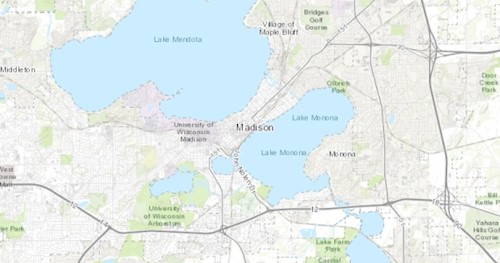
DCiMap is an interactive online mapping application that can be used to create online and printable maps. Users can zoom in and out, add a variety of data layers (see examples below), and print and export maps. Tutorial videos will show how you can use the web map to create a map(s) to submit with your Erosion Control or Stormwater Management permit application (once the software has been updated).
